Severe thunderstorms producing damaging winds, heavy rainfall, hail and possibly a few tornadoes will continue through tonight across portions of Kansas and Oklahoma. Heavy rainfall will persist across the Central Appalachians through tonight, potentially leading to areas of flooding. The severe weather and heavy rainfall threat will shift into the lower Great Lakes on Wednesday. Read More >
|
Current Conditions and Seven Day Forecast |
||
| Current Conditions | Forecast | Severe Weather | Hydrology/Rivers | Winter Weather | Fire Weather | Safety |
| Current Winter and Cold Weather Alerts | Latest DSS Packet - Click here |
|
Forecast Snowfall Amounts for Iowa for the Next 3 Days  |
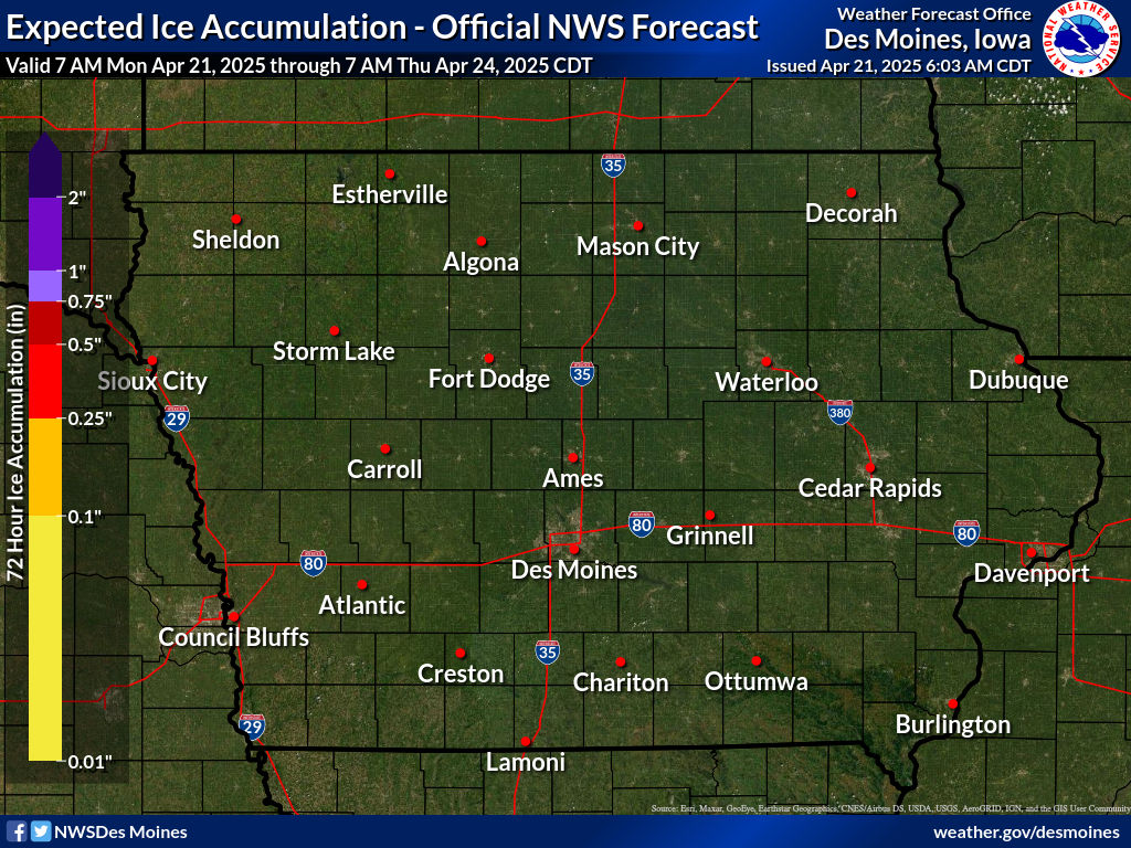
Forecast Ice Amounts for Iowa for the Next 3 Days  |
Additional Probabilistic Snowfall Graphics can be found here.
Use the slider bar below to view forecast snowfall in 6 hour increments. The map will update automatically. Use your mouse to zoom into/pan around on the map.
Click each image composite for more information.
 Day 1 |
 Day 2 |
 Day 3 |
View an Interactive Snow and Ice Probabilistic Forecast Map
 Upper Midwest Radar Loop |
 Upper Midwest Visible Satellite Image (Loop) |
 Upper Midwest Infrared Satellite Image (Loop) |
 |
|
||||||